79690468
Date: 2025-07-04 16:31:52
Score: 1
Natty:
This sounds normal.
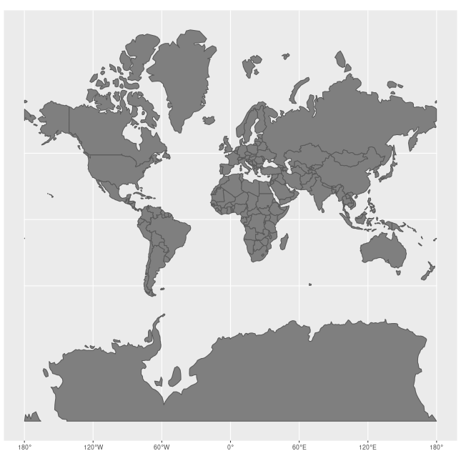
The data is in 3857, which is a Mercator projection. It flattens the world on a flat map, retaining angles (useful for marine navigation), but distorts areas and distances more and more the farther it is from the equator as illustrated below. Hence, the distances not being correct is to be expected.
Illustration:
 By Jakub Nowosad - Own work, CC BY-SA 4.0
Reasons:
Posted by: Pieter - Low length (0.5):
- No code block (0.5):